Navionics Platinum Plus Charts including Relief Shading Overlay Data
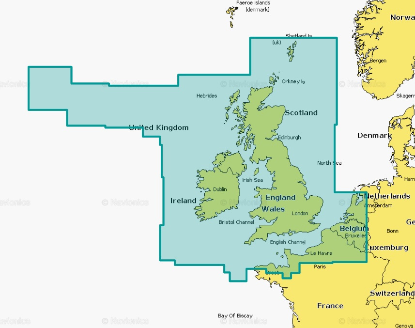
Navionics Platinum Plus Chart Coverage - UK, Ireland and Holland

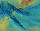
An example of the Navionics Relief Shading overlay maps

Navionics Platinum+ Charts for UK and Ireland
Relief Shading and Sonar Charts for your GPS Chart Plotter
Navionics are experts in producing high-detail maps of the seabed for use with marine electronics. The Navionics Platinum+ Micro SD card contains HD nautical and sonar maps, along with high resolution overlay data including Relief Shading, Sonar Chart Shading, Satellite Maps and more that you can install on your fish finder. Most fish finder/chart plotter units come with very basic maps pre-installed, but a Navionics card will bring your chart plotter to life!
You will clearly be able to see bottom features such as reefs, drop-off and sandbanks so that you can navigate to those fishy looking marks. A superb addition to any chart plotter for the avid kayak angler or boat angler! The latest Relief Shading overlay data is simply superb for feature finding.
Supplied on a Micro SD card with an SD card adaptor. You can plug this card into your PC to get free chart updates for 1 year. This card covers UK and Ireland.
Compatible with more sophisticated fish finders that will run overlay data - please check compatibility with your unit using the Navionics Compatibility Guide. You will need to see a tick in the grey 'Overlay Data' column beside your model to run the latest Relief Shading Data Overlay.
What's Included
- Navionics Platinum+ Micro SD Card
- Micro SD to SD Adaptor
- Information and Instructions Booklet
Useful Downloads
 rnwall
Pre-Season Offers Not To Be Missed